Some people are great at finding new routes, or boldly taking off into the unknown. Not me. I'm not thrilled when I'm out riding and exploring only to discover I've managed to ride onto a busy road with no shoulder. I'd much rather ride with people familiar with an area, and enjoy their secret and hopefully safer routes. But sometimes that isn't possible.
Now I have a solution.
I bought a Garmin 520 mainly because it could upload data from my phone. But my friend Lance Oldstrong showed me that some mapping capabilities that, though clunky and geeky, are also amazing.
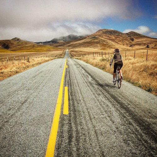
On a recent trip to Pismo Beach Tricia and I weren't sure where to ride. Using info from Lance Oldstrong, the DC Rainmaker site and RideWithGPS.com we found our solution.

We found a ride from Pismo Beach to Morro Bay and back through San Luis Obispo by searching RidewithGPS.com. The site has downloadable turn-by-turn queue sheets. Unfortunately it isn't free to download them (you can read them online for free) but what the heck. Better yet, you can download a route file as well.
Here's how it worked:
I downloaded openStreetmaps of the area I was visiting, in this case Pismo Beach. (The Garmin 520 comes with a "base map" that's pretty pointless.) I used the directions provided by DC Rainmaker to download them and get them on my Garmin. The 520 has limited space, so I have to put in just the small area I'll be in. I made sure to save the map the Garmin came with so I could reinstall it later, then loaded the Pismo area map.

I searched RideWithGPS for rides near Pismo Beach and found this one that has turn-by-turn directions. Because I paid for RideWithGPS I could download both the queue sheet to print and the GPX file to put on my Garmin. I used advice from LanceOldStrong DC Rainmaker and the RideWithGPS site to get the files loaded properly. It's weird, but it works.


On the ride I could see either a text screen of the turns coming up or a detailed map with my track that also flashed "turn here" info. It's very reassuring. Best of all, a wrong turn generated an "Off Course" warning.
I was very happy with how it all worked. It was almost like having a local guide us through the safe and interesting roads. It was completely worth the trouble.
Update: I was looking at the RidewithGPS site and saw I could download a KLM file to read in Google Earth. It came in handy when Tricia asked about trees and shade on a ride I proposed. I "played" it in Google Earth and saw that, yes, tress and shade were abundant. How totally cool!
BONUS VIDEO (click to play)
BONUS NON-BIKE PHOTO
No comments:
Post a Comment
I'm turning off comment moderation for posts younger than 60 days, so your words will appear right quick.